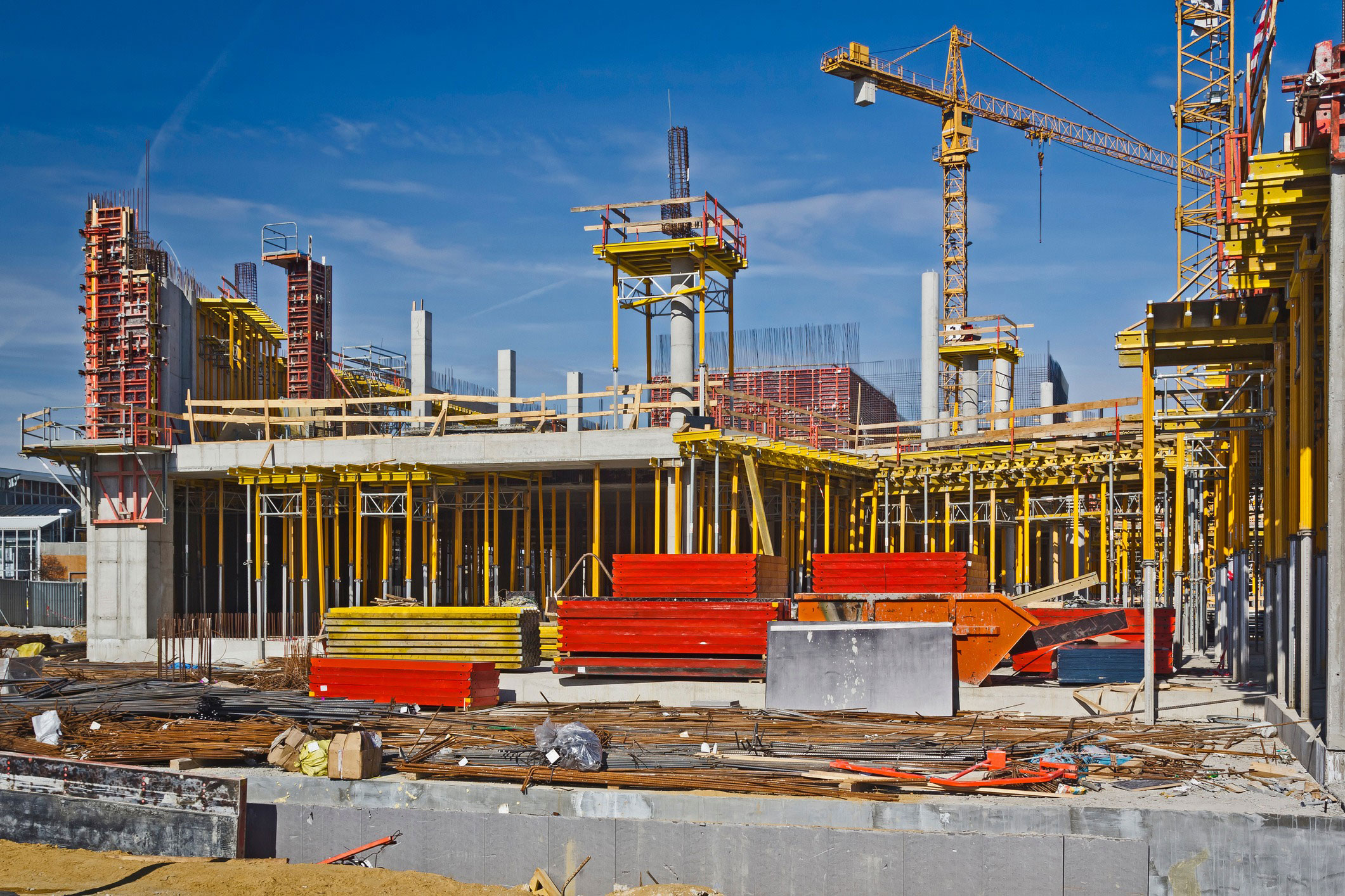


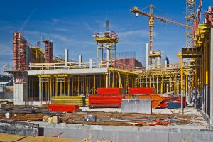
Construction progress on active sites continuously tracked against planned schedules through multi-temporal satellite imagery analysis.
Infrastructure
Infrastructure critical asset monitoring, urban planning, structural deformation monitoring
Infrastructure operators, contractors and asset managers need persistent, large-scale visibility across construction sites, transport networks and built assets
NadirEO supports schedule control, structural integrity assessment, urban expansion analysis and the protection of strategic infrastructure from environmental and operational risk, through ready-to-use services and APIs.
Key Challenges in the Infrastructure Sector
Limited visibility on construction progress and schedule slippage
Difficulty detecting millimetric ground or structural deformation
Limited visibility on land use change and encroachment around assets and corridors
Exposure to flood, geohazard and multi-hazard environmental risks
How NadirEO supports the Infrastructure Sector
Millimetric-precision measurement of ground settlement, slope movement and structural deformation over active sites and existing assets using SAR interferometry.
Urban growth, land use change and development activity detected through multi-temporal satellite imagery, supporting site selection, due diligence and encroachment monitoring along infrastructure corridors and asset portfolios.
Flood inundation, geohazard such as landslide, subsidence and debris flow, wildfire and severe storm exposure mapped across asset portfolios and active construction sites, supporting risk assessment, portfolio risk management and operational resilience.
All Industries
Using Earth Observation data to reduce risk, improve claims, and enable smarter underwriting
Infrastructure
Infrastructure Critical asset monitoring, urban planning, structural analysis
Discover More
Insurance
Using Earth Observation data to reduce risk, improve claims, and enable smarter underwriting
Discover MoreReady To Get Started?
Join our ecosystem and collaborate with organizations to compose and deliver geospatial services