

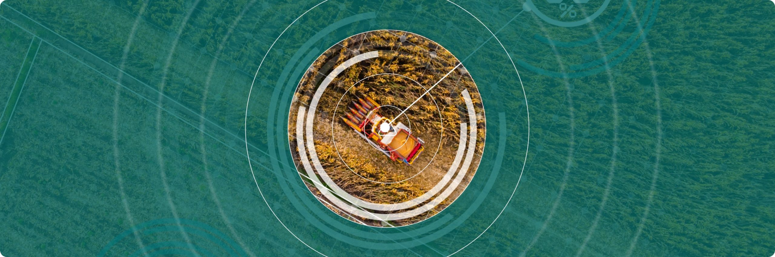
Crop vegetation stress, water deficit and early-stage disease indicators detected across agricultural portfolios through multi-temporal satellite imagery, supporting in-season intervention and yield protection.
Agriculture
Agriculture Crop monitoring, land use analysis, yield prediction
Agribusinesses, traders and food-industry operators need high-frequency intelligence on crop condition, productivity and land use dynamics across large, geographically distributed portfolios
NadirEO enables yield forecasting, precision input management and verification of sustainability and traceability requirements across the full agricultural value chain, through ready-to-use services and APIs.
Key Challenges in the Agriculture Sector
Limited visibility on crop health across large, distributed portfolios
Difficulty forecasting yield ahead of harvest for trading and supply decisions
Difficulty mapping and classifying agricultural assets at portfolio scale across distributed regions
Growing supply-chain traceability and sustainability compliance requirements
How NadirEO supports the Agriculture Sector
Crop yield projections at field, farm and regional scale generated from biomass evolution and seasonal weather modelling, supporting trading decisions, sourcing strategy and supply-chain planning.
Agricultural field boundaries delineated and crop types classified at scale through time-series satellite imagery, supporting portfolio inventory, sourcing traceability, due diligence and underwriting across distributed agricultural regions.
Land use change, deforestation and farming activity detected through multi-temporal satellite imagery, supporting supply-chain traceability, ESG reporting and regulatory compliance such as EUDR across distributed sourcing regions.
All Industries
Using Earth Observation data to reduce risk, improve claims, and enable smarter underwriting
Infrastructure
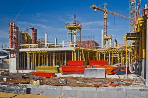
Infrastructure Critical asset monitoring, urban planning, structural analysis
Discover More
Insurance
Using Earth Observation data to reduce risk, improve claims, and enable smarter underwriting
Discover MoreReady To Get Started?
Join our ecosystem and collaborate with organizations to compose and deliver geospatial services