

Wildfire, flood and geohazard such as landslide and subsidence exposure mapped across energy networks and renewable assets through integrated EO products, supporting risk assessment, criticality scoring, preventive planning and post-event response, including burnt area mapping and damage assessment.
Energy operators need persistent, large-scale visibility across networks and renewable assets to manage fire, geohazard and third-party risk while identifying optimal sites for new generation
NadirEO delivers Earth Observation intelligence supporting energy operators across the asset lifecycle, from site selection and feasibility to fire and geohazard risk management, change detection over critical networks and renewable generation planning, through ready-to-use services and APIs.
Key Challenges in the Energy Sector
Exposure to wildfire, flood and geohazard risks across networks and renewable assets
Vegetation encroachment threatening transmission lines, pipelines and rail corridors
Difficulty monitoring third-party activity and construction near critical infrastructure
Complexity in identifying optimal sites for new renewable generation
Fragmented data sources across territories and providers
How NadirEO supports the Energy Sector
Vegetation growth and encroachment within buffer zones of transmission lines, pipelines and rail corridors detected through multi-temporal satellite imagery and vegetation indices, supporting preventive maintenance scheduling, vegetation management planning and wildfire ignition risk reduction.
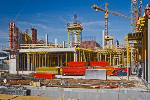
Construction activity, built area modifications and third-party works detected near energy infrastructure through multi-temporal satellite imagery, supporting network protection, encroachment management and operational continuity along corridors and around assets of interest.
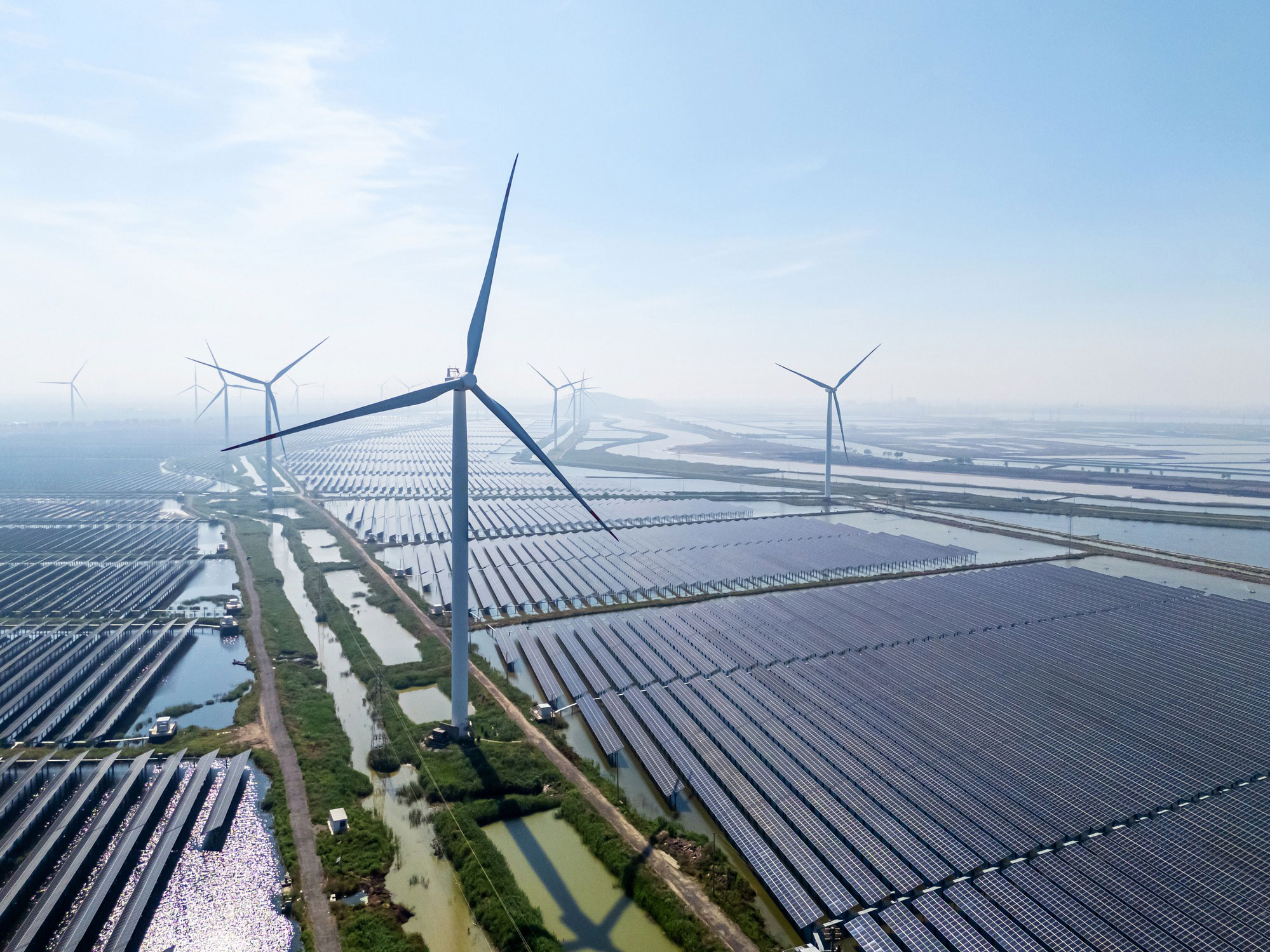
Optimal wind, solar and hybrid renewable sites identified through satellite-derived solar irradiance, wind resource and land suitability data, supporting feasibility screening, project prioritisation and forward planning of new renewable generation.
All Industries
Infrastructure
Infrastructure Critical asset monitoring, urban planning, structural analysis
Discover More
Insurance
Using Earth Observation data to reduce risk, improve claims, and enable smarter underwriting
Discover MoreReady To Get Started?
Join our ecosystem and collaborate with organizations to compose and deliver geospatial services